California Dryland Stream Delineation Workshop
Field-based instruction in California dryland stream delineation using methods within federal and state jurisdictional frameworks.
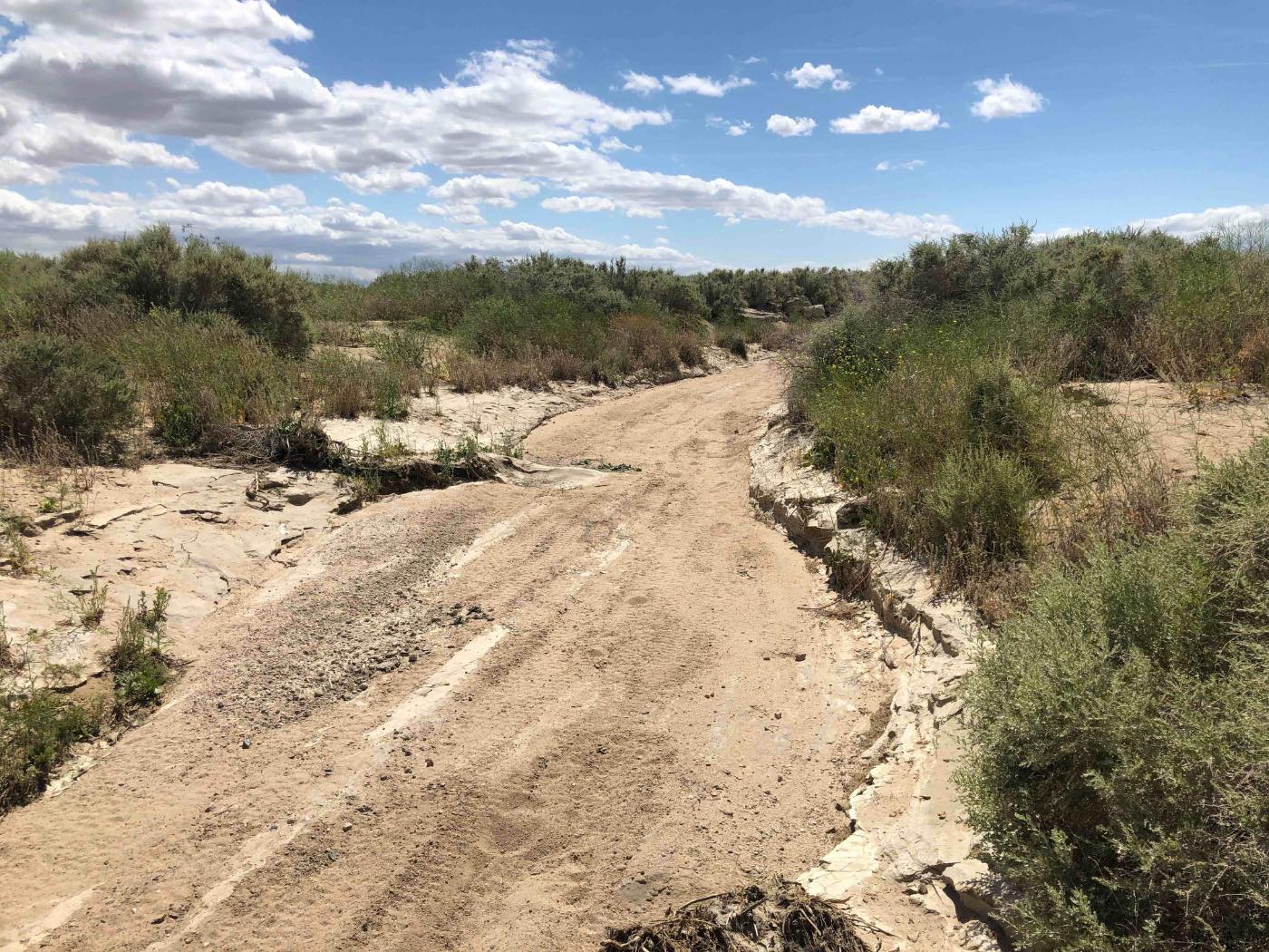
Spend a full day in the field examining how ephemeral and intermittent streams are identified, characterized, and delineated in California. You'll work through the principles of Ordinary High Water Mark delineation, evaluate hydrogeomorphic indicators commonly used to interpret stream boundaries, and explore how aquatic resources may be evaluated differently under federal and California jurisdictional frameworks.
Limited to 16 participants to maximize field instruction.
What You'll Learn
A focused day of instruction built around the decisions you actually make in the field on California dryland systems.
- Differentiate potential Waters of the U.S. from Waters of the State in dryland systems
- Apply field methods and hydrogeomorphic indicators used to evaluate ephemeral and intermittent stream boundaries
- Identify Ordinary High Water Mark indicators in challenging, dry environments
- Evaluate the lateral extent of the watercourse using various hydrogeomorphic indicators
- Complete field documentation that supports regulatory review
- Understand how delineations influence permitting and project planning
Workshop Details
BlueLine's first field workshop.
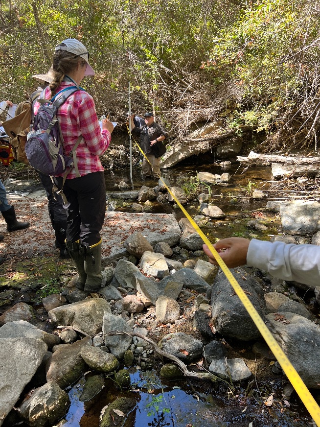
On-site instruction in the morning plus a full afternoon of field delineation.
A representative Southern California field site. Exact meeting location provided after registration.
A small group ensures direct instructor feedback throughout the day.
Includes field instruction, printed materials, digital reference materials, and a certificate of completion.
Consultants, utility and municipality staff, restoration practitioners, biologists, planners, project managers, and field technicians.
Who Leads the Day
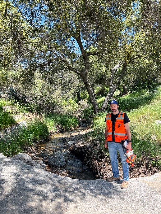
Malek Al-Marayati
Malek is an environmental professional specializing in aquatic resource delineation, wetland and waters permitting, and regulatory strategy for infrastructure projects throughout California. His work focuses on the intersection of field science and environmental regulation, with experience evaluating wetlands, streams, riparian systems, and other aquatic resources. His technical background includes wetland delineation using U.S. Army Corps of Engineers methods; evaluation of ordinary high water mark indicators and other hydrogeomorphic characteristics; and preparation and review of aquatic resource and jurisdictional documentation. In his current work, Malek reviews aquatic resource delineations and helps guide permitting, compliance, and regulatory strategy for utility infrastructure projects across California.
Malek is a Certified Wetland Botanist and California Rapid Assessment Method (CRAM) Practitioner and has completed specialized training in wetland delineation, botany, aquatic resource assessment, and related regulatory topics. Through BlueLine Environmental Institute, he brings that combination of technical and permitting experience into professional training designed to make complex regulatory concepts more understandable and applicable to day-to-day practice.
More about BlueLine Full professional background on LinkedIn
A Practical Day in the Field
The day is spent on a real California dryland channel, working in a small group with the instructor alongside you. The sample schedule below sets out the sequence.
Targeted Instruction
Morning instruction connects dryland field indicators to the types of evidence considered during regulatory evaluation.
Real Field Delineation
An actual dryland channel in the field, not a textbook example.
Instructor Feedback
Direct, individualized feedback on your calls as you work.
California Case Studies
Real California project examples and the regulatory questions they raised.
Sample Daily Schedule
A representative schedule. Timing may shift slightly to make the most of field conditions on the day.
Delineation Decisions Drive the Whole Project
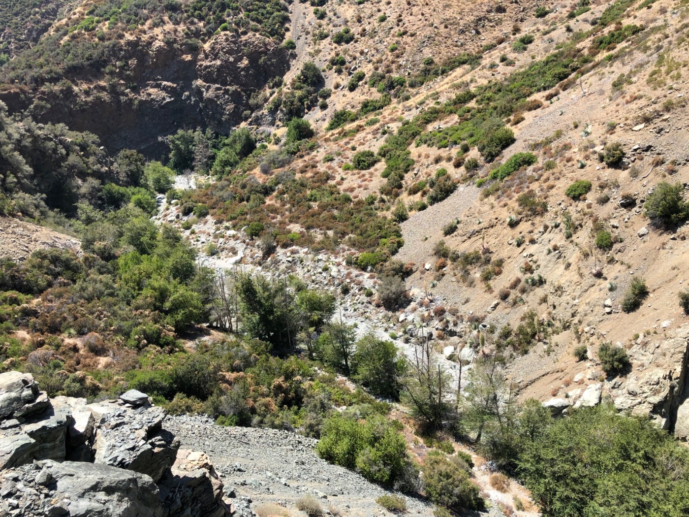
In dryland systems, where the channel is and how it's classified shapes everything downstream of it: permitting strategy, project schedules, mitigation requirements, agency review, and regulatory risk. A misread channel can stall a project or expose it to challenge.
Accurate field interpretation supports clearer documentation and more efficient regulatory review. This workshop builds the judgment needed to make better-supported field interpretations and document them clearly.
- Reduce regulatory risk with clearly documented determinations
- Anticipate how a delineation will be read during agency review
- Connect field calls to permitting and mitigation strategy
- Produce reports that hold up to agency review
Frequently Asked Questions
Notify Me of Additional Workshop Dates
January 23, 2027 is the only field workshop currently scheduled. Add your name and we will contact you first when additional dryland stream delineation dates are set. This list is separate from the general BlueLine email list.
Reserve Your Spot for January 23, 2027
Enrollment is limited to 16 participants to provide a highly interactive field experience. Register early to secure your place.